| Namespace | No namespace | ||||||||||||||||||||||||||||||||||
|
Annotations
|
|
||||||||||||||||||||||||||||||||||
|
Diagram
|
 |
||||||||||||||||||||||||||||||||||
|
Used by
|
|
||||||||||||||||||||||||||||||||||
|
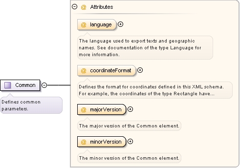
Attributes
|
|